1/19


NextGIS Mobile
1K+ดาวน์โหลด
23MBขนาด
2.12.2(01-07-2025)เวอร์ชั่นล่าสุด

รายละเอียดรีวิวเวอร์ชั่นข้อมูล
1/19
คำอธิบายของNextGIS Mobile
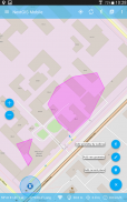
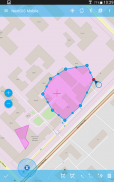
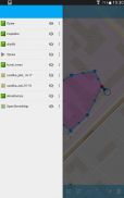
NextGIS มือถือเป็นระบบสารสนเทศภูมิศาสตร์สำหรับอุปกรณ์มือถือของคุณที่สามารถ:
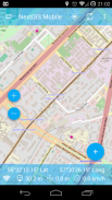
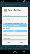
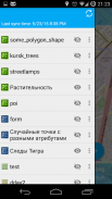
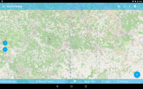
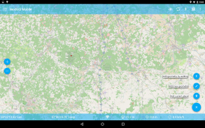
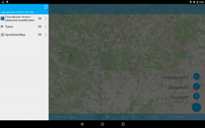
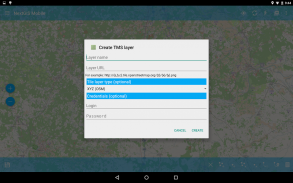
- การแสดงแผนที่แบบหลายชั้น (ชั้นได้มาจากแหล่งที่มาออนไลน์และออฟไลน์)
- การเปลี่ยนแปลงการมองเห็นและการสั่งซื้อชั้น
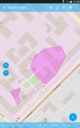
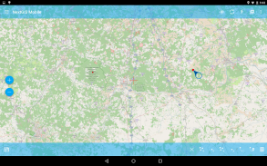
- นำทางแผนที่ (ส่ายกล้องซูมเข้าซูมออก)
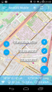
- แก้ไขข้อมูลเวกเตอร์ (ทั้งรูปทรงเรขาคณิตและแอตทริบิวต์) ออนไลน์และออฟไลน์
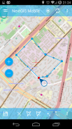
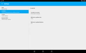
- แทร็คที่บันทึก
- พิกัดโชว์ความเร็วสูง ฯลฯ
NextGIS Mobile--เวอร์ชั่น2.12.2
(01-07-2025)ข่าวใหม่- Fix connect to NGW account for own webGIS server (on-premise)- Add Web GIS connection automatically on sign in- Bug fixes and improvements

NextGIS Mobile - ข้อมูล APK
เวอร์ชั่น APK: 2.12.2แพ็คเกจ: com.nextgis.mobileชื่อ: NextGIS Mobileขนาด: 23 MBดาวน์โหลด: 51เวอร์ชั่น : 2.12.2วันที่ปล่อย: 2025-07-01 10:15:39หน้าจอขั้นต่ำ: SMALLCPU ที่รองรับ: x86, x86-64, armeabi-v7a, arm64-v8a
ID ของแพคเกจ: com.nextgis.mobileลายเซ็น SHA1: 98:7C:B6:CF:A5:A2:14:1C:D1:0F:8E:13:AD:2A:50:BA:9B:D8:8F:2Eนักพัฒนา (CN): Dmitry Baryshnikovองค์กร (O): NextGISท้องถิ่น (L): Moscowประเทศ (C): RUรัฐ/เมือง (ST): RussiaID ของแพคเกจ: com.nextgis.mobileลายเซ็น SHA1: 98:7C:B6:CF:A5:A2:14:1C:D1:0F:8E:13:AD:2A:50:BA:9B:D8:8F:2Eนักพัฒนา (CN): Dmitry Baryshnikovองค์กร (O): NextGISท้องถิ่น (L): Moscowประเทศ (C): RUรัฐ/เมือง (ST): Russia
เวอร์ชั่นล่าสุดของNextGIS Mobile
2.12.2
1/7/202551 ดาวน์โหลด23 MB ขนาด
เวอร์ชั่นอื่น
2.12.1
1/6/202551 ดาวน์โหลด23 MB ขนาด
2.12.0
24/5/202551 ดาวน์โหลด23 MB ขนาด
2.11.0
20/4/202551 ดาวน์โหลด23 MB ขนาด
2.10.0
15/3/202551 ดาวน์โหลด23 MB ขนาด
2.9.3
20/2/202551 ดาวน์โหลด23 MB ขนาด
2.6.56
11/6/202451 ดาวน์โหลด19.5 MB ขนาด
2.6.48
21/6/202351 ดาวน์โหลด15 MB ขนาด
2.5.6.2
4/8/201751 ดาวน์โหลด14.5 MB ขนาด
2.4.1
20/8/201651 ดาวน์โหลด13 MB ขนาด


แอปในประเภทเดียวกัน
 4.324.074.29
English


